Municipality Dimovo
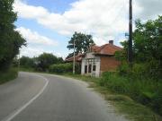
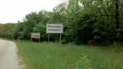
 The Dimovo municipality is a constituent part of the District of Vidin. It occupies an area of 402 347 decares, which is 13.3% of the district`s territory. It borders the Belogradchik, Rouzhintsi, Chouprene, Makresh and Vidin municipalities of the District of Vidin and the Lom municipality of the District of Montana. The municipality has access to the Danube river.
The municipality of Dimovo belongs to the Temperate Continental climatic area. The relief is prevalently hilly or plain. The region of the town of Dimovo and Oreshets Station (42-900 m above sea level) is with a hilly relief.
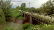
Four tributaries to the Danube pass through the municipality`s territory - the rivers Archar, Skomlya, Belshtitsa and Lom. There are six dam lakes near the villages of Varbovchets, Medovnitsa (2), Yarlovitsa, Shipot and Skomlya.
Quick facts about Municipality Dimovo
In Bulgarian (Native transliteraion): Община ДимовоRegion: North-Western planing region of Bulgaria
District: Vidin district
Municipality: Dimovo municipality
Latitude: 43.7420006
Longtitude: 22.7269993
Altitude: 2
Area Size: 402.347km2
Population: 7628 people (2005)
Sights & Landmarks Municipality Dimovo (3) »
Archar: Roman fortress Ratsaria
Oreshets: Venetsa cave
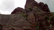
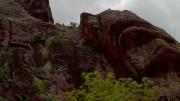
Yanyovets: Rock formations
Photos Municipality Dimovo (39) »
News Municipality Dimovo (2) »
2009-08-06 Ancient Roman town of Ratiaria near Archar (Culture)
2009-02-06 Treasure-hunter from village of Archar arrested near the ancient Ratsiaria (Accidents)
External links Municipality Dimovo
bulgaria.domino.bg (Dimovo)
www.dimovo.net (Dimovo)


