Municipality Rujintsi
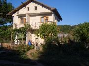
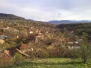
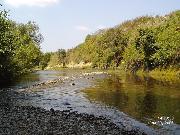
 The village of Rujintsi (Vidin District) is located in North-West Bulgaria in West part of Danube plain, at left bank of Lom river. It is situated at the main road E79 at distance of 54.99 km Soutn from town of Vidin and 160km North from the capital city Sofia. The village is a center of Rujintsi Municipality. Neighbouring villages are Medovnitsa, Pleshivets and Drazhintsi. Nearest train stations are in village of Drenovets and village of Oreshets.
The area of Rujintsi is an agricultural region with potential and traditions in vegetable- growing and gain- production.
Sightseeing: 10 km. west from the village are situated the famous Belogradchik Rocks.
Quick facts about Municipality Rujintsi
In Bulgarian (Native transliteraion): Община РужинциOther transliteration(s): Rujinci, Ruzintsi, Ruzinci, Ruzhintsi, Rouzhintsi, Roujintsi, Rouzhintsi, Rouzhinci
Region: North-Western planing region of Bulgaria
District: Vidin district
Municipality: Rujintsi municipality
Latitude: 43.6233292
Longtitude: 22.8308296
Altitude: 3
Area Size: 232km2
Population: 5172 people (2005)
Photos Municipality Rujintsi (36) »
External links Municipality Rujintsi
www.drajinci.com (Drajintsi)


