Municipality Kaloyanovo

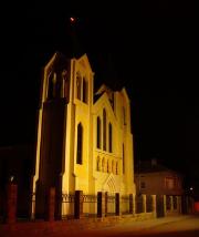
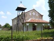
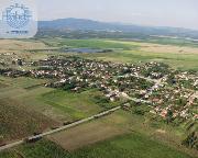
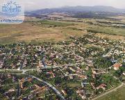
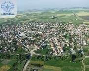
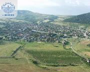
Photo: Municipality Kaloyanovo
The relief is mainly flat and a bit undulated. The average altitude above sea level is 250 m. The climate is transitional continental. The Stryama River and the Tikla River flow through the territory of the Municipality. The artificial dams are 21 and are used for fish farming and irrigation. Four mineral water drill-holes have been developed in Pesnopoy village and water catchments have been made on them.
Municipality Kaloyanovo offers good opportunities for tourism: Development of balneology treatment and tourism in Pesnopoy village; Conditions for hunting tourism in the villages of Razhevo, Razhevo Konare, Otets Paisievo, Pesnopoy, and Ivan Vazovo. Exploration is being carried out for construction of a golf course in Begovo village. The closeness of the cultural historical monuments in Plovdiv, Hissarya, Starossel and Karlovo.
Quick facts about Municipality Kaloyanovo
In Bulgarian (Native transliteraion): Община КалояновоOther transliteration(s): Kaloianovo
Region: South-Central planing region of Bulgaria
District: Plovdiv district
Municipality: Kaloyanovo municipality
Latitude: 42.3499985
Longtitude: 24.7329998
Altitude: 4
Population: 12375 people (2005)
Photos Municipality Kaloyanovo (70) »
News Municipality Kaloyanovo (2) »
2014-01-17 A company received 25-year concession for the extraction of sand and gravel from quarry near Razhevo Konare (Business)
2009-04-14 Delicates 2 Ltd Zhitnitsa launched its 2nd plant (Business)
External links Municipality Kaloyanovo
www.kaloianovo.org (Kaloyanovo)
www.pmw-bg.com (Jitnitsa)


