Village Dragushinovo

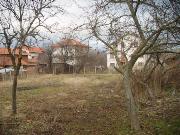
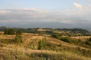
Photo: dragushinovo.weebly.com
The region is rich in waters. Besides the Iskar and the river of in Matica which pases Dragushinovo, there are several other small rivers and streams that spring or run in region and flow into Iskar (Grachki Dol, Katrandzhia, Piperica) or into other larger rivers. There are also so called "toplici" - hot springs of mineralized groundwater. In the past these rivers have been grouped in a complex of canals and aqueducts with a length more than 15 kilometers, built on the slopes of Shipochanski Hill and used for the purposes of the production of the famous Samokov iron.
Quick facts about Village Dragushinovo
In Bulgarian (Native transliteraion): Село ДрагушиновоRegion: South-Western planing region of Bulgaria
District: Sofia district
Municipality: Samokov municipality
Latitude: 42.3670006
Longtitude: 23.5499992
Altitude: from 700 to 999
Distance by air to the capital city Sofia: 39.988km
Area Size: 15.333km2
Population: 626 people (31.12.2013)
Postal Code: 2008
Phone Code: 0722
Sights & Landmarks Village Dragushinovo (4) »
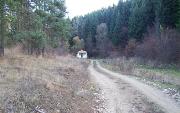
Dragushinovo: Chapel "St.Ivan Rilski", Boyov dol locality
Dragushinovo: Partisan monument
Dragushinovo: Church of St.Todor
Dragushinovo: St. Тodors day and the Tradional Crab kurban
Photos Village Dragushinovo (10) »
External links Village Dragushinovo
www.dragushinovo.weebly.com (Dragushinovo)


