Municipality Sitovo

Photo: garvanec
An upstream sector in municipal economy is agriculture; 26 agricultural entities operate in this sector. The Municipality Sitovo is a traditional producer of grains. The largest are the areas planted with wheat, followed by those planted with barley.
Quick facts about Municipality Sitovo
In Bulgarian (Native transliteraion): Община СитовоRegion: North-Central planing region of Bulgaria
District: Silistra district
Municipality: Sitovo municipality
Latitude: 44.0169983
Longtitude: 27.0170002
Altitude: 2
Area Size: 271km2
Population: 7441 people (2005)
Sights & Landmarks Municipality Sitovo (8) »
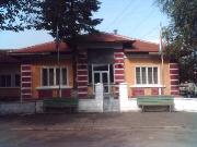
Garvan: Museum of Communism
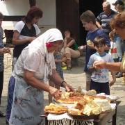
Garvan: Ethnographic Museum Exposition
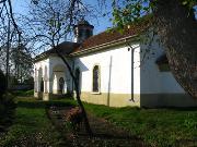
Popina: Church "St. George"
Dobrotitsa: Rock-formation The Acute rock
Photos Municipality Sitovo (32) »
External links Municipality Sitovo
www.garvan.silistra.eu (Garvan)
selopopina.dir.bg (Popina)
selopopina.alle.bg (Popina)


