Municipality Lesichovo
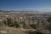
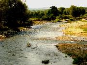
 The Lesichovo municipality is located in South-Central Bulgaria in the northwestern part of Pazardjik District. The Municipality consists of 7 villages with municipal center village of Lesichovo. Lesichevo is one of the youngest municipalities in Bulgaria. It encompasses parts of Ihtiman and Sashtinska Sredna Gora Mountain and parts of the Upper Thracian Valley. The highest point is Benkovski peak (1,186 m); the lowest altitude is 300 m above sea level. Trakia highway crosses the municipality Lesichevo is west-east direction. A main water thoroughfare is the Topolnitsa River. Six micro-dam lakes have been built and they allow for irrigation and development of intensive farming. The region falls within the Sredna Gora Mountain hydrological area, which abounds in thermal water. Explorations have shown potential existence of deposits of copper ore and precious metals. The terrace of the Topolnitsa River contains gold-bearing sand.
Quick facts about Municipality Lesichovo
In Bulgarian (Native transliteraion): Община ЛесичовоOther transliteration(s): Lesichevo, Lessichovo
Region: South-Central planing region of Bulgaria
District: Pazardjik district
Municipality: Lesichovo municipality
Latitude: 42.3499985
Longtitude: 24.1166706
Altitude: 4
Area Size: 211.9km2
Population: 5827 people (2005)
Sights & Landmarks Municipality Lesichovo (3) »
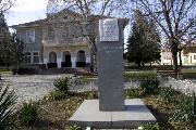
Dinkata: Monument Kocho Chestimenski
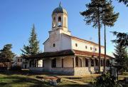
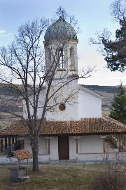
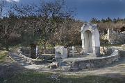
Kalugerovo: St.Nikola Monastery
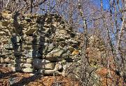
Tserovo: Fortress Lyubnishko kale
Photos Municipality Lesichovo (16) »
News Municipality Lesichovo (1) »
2010-01-09 St. Nicholas Monastery near village of Kalugerovo (Culture)
External links Municipality Lesichovo
www.lesichovo.bg (Lesichovo)
www.kalugerovo.com (Kalugerovo)


